About Samantha Baxter

Samantha M. Baxter is a Writer and the Managing Editor for Fondriest Environmental. She is in the process of obtaining B.A. degrees in Integrated Language Arts Education and Political Science at Wright State University. She was hired as an intern in the spring of 2022 and has continued to work as a writer and editor for the Environmental Monitor, FishSens Magazine and other Fondriest Environmental pages. As a writer, Samantha works with researchers from across the country to craft stories that highlight their work and its impacts. As an editor, Samantha works with graphic designers, fellow writers, and various environmental professionals to create unique content for Fondriest Environmental. Samantha enjoys swimming, running, reading and playing video games in her free time.

Articles By Samantha Baxter

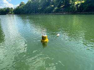
A NexSens buoy deployed on the Kentucky River during a recent training exercise conducted by Kentucky’s Emergency Response Team.
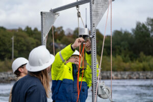
Sequoia team members installing the NexSens X3 datalogger to enable remote monitoring of sensor outputs.
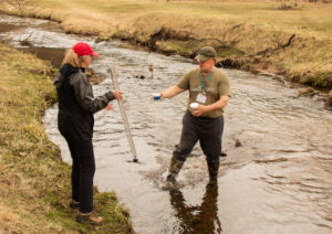
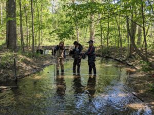
HRWC citizen science volunteers measure stream velocity across a subsection of Woods Creek, a tributary of the Huron River near Belleville, Michigan.
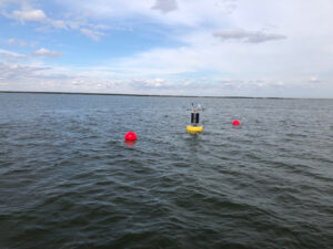
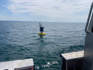
The Dunkirk Buoy located in the eastern basin of Lake Erie viewed from the research vessel after being deployed in early spring.
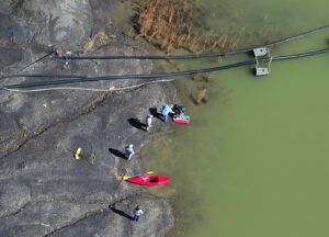
DOW bathymetry team assisting Abandoned Mine Lands in collecting depth/volume data at a coal pond retention basin. The image is take from above with a drone
BS1 sampling platform in its deployed position. The site is powered by a solar-powered battery, connects to the WQDataLive cloud service with a cellular modem, and collects temperature, salinity, oxygen, chlorophyll, turbidity, pH, and weather parameters. The site is located between two oyster aquaculture facilities in Morro Bay, CA.
Gleaming and new, the first LoRa buoy is deployed in lower Green Bay, ready to collect valuable, real-time surface algal pigment, temperature profile, and dissolved oxygen data for its first season.
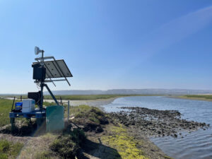
The Tijuana River Estuary monitoring station, including solar panel, logger and telemetry.
Satellite image of Hurricane Milton rapidly intensifying into a strong Category 5 hurricane in the Gulf of Mexico on October 7, 2024
Overhead view of multiple article spreads from the 2024 Fall edition of the Environmental Monitor
Plummer WEES team member inspects an industrial cooling tower to determine how it is running.
The NexSens XB-200 data buoy deployed on the Fondriest Field Station lake.
WIZARD Buoy located on the Ohio River below R.C. Byrd Locks and Dams
LEA Staff Limnologist Maggie Welch on board buoy boat as it approaches Long Lake deployment site.
Picture of the 2015 bloom in Maumee Bay
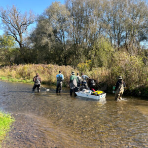
High Definition Stream Survey motor boat in action on the Upper Delaware River in Pennsylvania.
Field crews prepare NOAA’s CURBY for temporary deployment near the collapsed Francis Scott Key Bridge on April 4, 2024. Pictured clockwise from top: Eddie Roggenstein, Shaena Rausch, and Katie Kirk.
EXO 2 stilling well setup at Lost River Rise site
Superbuoy (a CB-950) deployed on Buffalo Pound Lake on a clear day