Posts for tag "Chesapeake Bay"
Caring for the Chesapeake: Supporting the Iconic Bay Starts with Good Monitoring Data
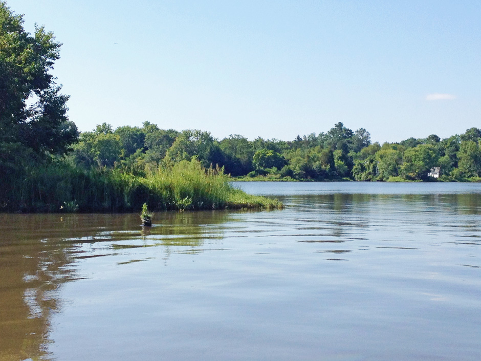
Many types of data are gathered on the Chesapeake Bay and organized to reflect various Bay aspects, including the tidal and nontidal Bay watershed.
- Posted September 26, 2022
Climate, Nutrients and the Future of Hypoxia in a Chesapeake Bay Tributary
A warming climate and low-oxygen from Chesapeake Bay will reduce oxygen more than nutrient reductions will increase it in the Chester River.
- Posted September 6, 2021
Ducks Unlimited Works Hard to Conserve and Restore North Atlantic Wildlife Habitat
Saving ducks is just the beginning of the extensive conservation efforts of Ducks Unlimited, an organization actively saving and restoring wetlands in large regions of the U.S.
- Posted February 25, 2019
Tagging and Tracking Elusive Cownose Rays
A new study reveals that cownose rays that summer in Chesapeake Bay winter off the coast of Florida, and suggests localized management solutions.
- Posted October 24, 2018
Efforts to Reduce Stormwater and Nutrients Helping Chesapeake Bay’s SAV
Decades of nutrient and stormwater reduction in the Chesapeake Bay watershed has caused a record-breaking resurgence in submerged aquatic vegetation (SAV).
- Posted May 2, 2018
To Protect and Preserve: Environmental Monitoring Central to Mission of Chesapeake Bay
Chesapeake Bay (Maryland) NERR’s environmental monitoring efforts are supported by many organizations including the University of Maryland and NOAA.
- Posted March 23, 2018
Air Quality Gains Improving Chesapeake Bay
Scientists at University of Maryland find that gains in air quality, specifically reductions in atmospheric nitrogen, may be improving Chesapeake Bay.
- Posted August 26, 2016
York River Buoy Launches, Adds To Networks Near And Far
A new York River buoy will add understanding to an understudied, high-traffic section of Chesapeake Bay while aiding local and national monitoring networks.
- Posted August 12, 2016
Sea Turtle Mortality Tracked With GPS-Equipped ‘Frankenturtles’
Virginia Institute of Marine Science investigators study sea turtle mortality by mounting GPS units on turtle carcasses deployed in Chesapeake Bay.
- Posted June 24, 2016
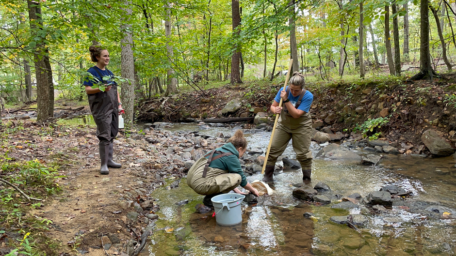
Park Service Assesses Health Of Pennsylvania Headwater Streams Of Chesapeake Bay
In the Pennsylvania headwater streams of Chesapeake Bay, National Park Service officials track water level and temperature to assess aquatic health.
- Posted May 17, 2016
Students Learn Precision Conservation To Help Chesapeake Bay, Farmers
Bucknell University students use GIS data to apply precision conservation methods to runoff impacting Chesapeake Bay and share suggestions with farmers.
- Posted March 23, 2016
Studying Chesapeake Bay Shallows To Preserve Key Habitats
Managers with the Maryland Department of Natural Resources use cellular data loggers and water quality sondes to dissect Chesapeake Bay shallows.
- Posted March 10, 2016
NOAA Readies Buoy Platform For Alaska’s Arctic Coast
NOAA scientists test a new buoy platform in preparation for increased monitoring in the United States’ Arctic Exclusive Economic Zone.
- Posted December 11, 2015
Chesapeake Bay Surface Water Temperatures Rising Faster Than Air Temperatures
The Chesapeake Bay is a highly productive estuary formed by the confluence of freshwater from multiple rivers with saltwater from the Atlantic coast. According to a recent study, parts of the Bay have seen water surface temperatures...
- Posted October 30, 2015
Sea Levels In Chesapeake Bay Rising At Twice Global Average
Although sea levels have been rising all over the globe due to climate change at the rate of about 1.7 millimeters per year, the Chesapeake Bay area sea level has been rising at twice that, around 3.4...
- Posted August 3, 2015
Excess Nitrogen Causing More Chesapeake Bay Algal Blooms
Over the past twenty years, researchers have found significant increases in algal blooms in Chesapeake Bay, according to a release from the University of Maryland Center for Environmental Science. A recent study linked the increases in algal...
- Posted May 20, 2015
Chesapeake Bay Bouncing Back From Polluted Past
The Chesapeake Bay is bouncing back after decades of pollution, according to an NBC article. Chesapeake Bay is supplied by a 64,000-square-mile watershed spanning Delaware, Pennsylvania, Virginia, New York, Maryland, West Virginia, and Washington D.C. Since the...
- Posted May 6, 2015
Mapping tool helps Pennsylvania farmers meet environmental requirements
A popular online system created by Penn State Extension has helped more than 3,300 farmers map farms and fields across Pennsylvania, according to a release from Penn State University. The online tool is meant to help farmers...
- Posted March 19, 2015


