Posts for tag "drones"
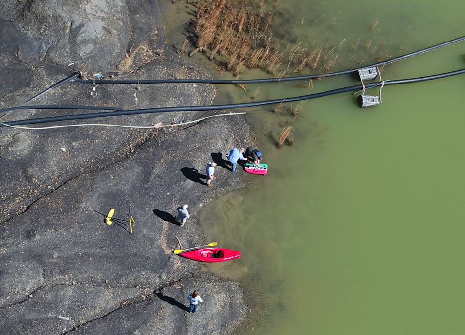
Monitoring Kentucky’s Water Resources with Drone Imaging and Unmanned Surface Vehicles
Wesley Turner, an Environmental Scientist Advisor with the GIS and Data Analysis Section of the Watershed Management Branch in the Kentucky Division of Water, spends his days researching current technology and developing various drone programs for the...
- Posted November 25, 2024
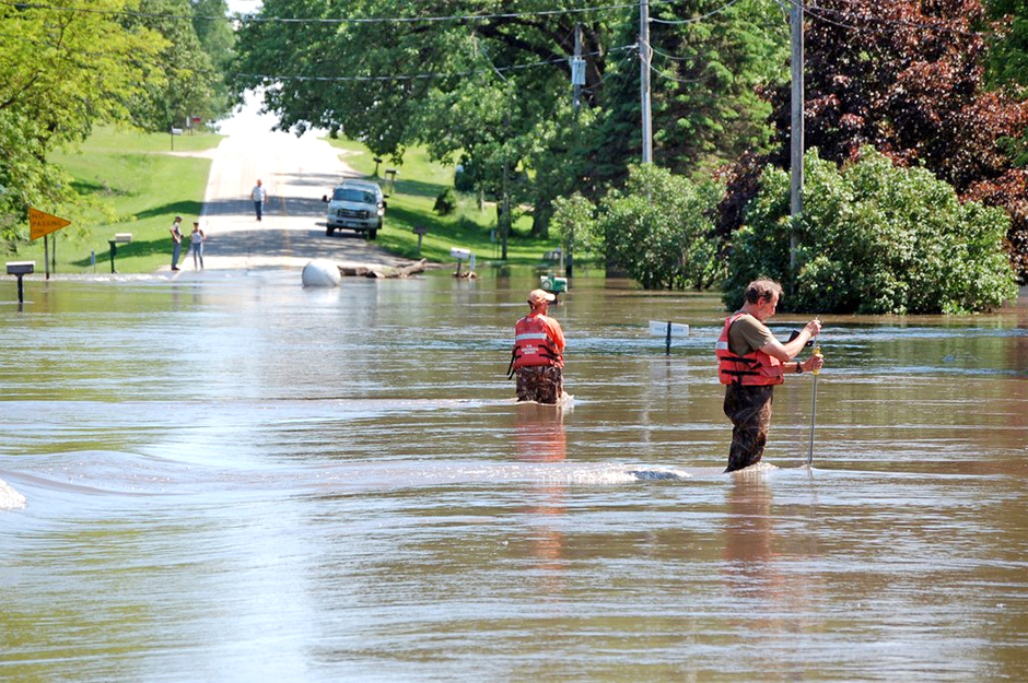
New Technologies Reducing Uncertainty in Estimation of River Flow
Deploying new technologies and modeling could allow field scientists and others to collect data often under safer conditions.
- Posted August 16, 2019
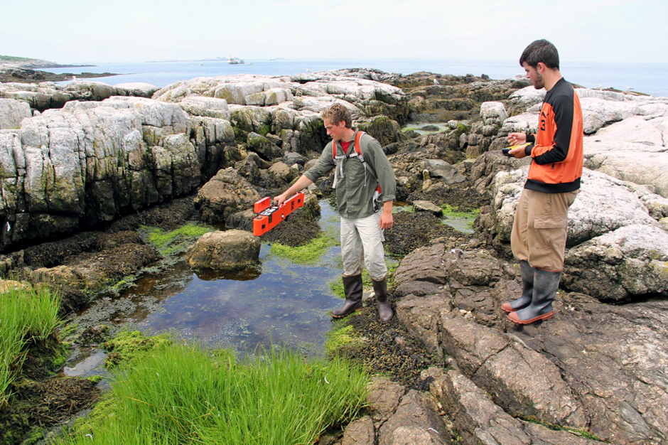
Shoals Marine Laboratory: Over 50 Years of Undergraduate Research Excellence
Appledore Island’s rocky shores and unique flora and fauna provide outstanding research opportunities for college students at Shoals Marine Laboratory.
- Posted April 11, 2019
Underwater, Networked Drones Monitoring Water Quality
A team is developing and deploying networked drones and underwater robots to monitor water quality in real-time to more effectively protect the public.
- Posted March 6, 2018
Drones Go Where Other Tools Can’t When Monitoring Nearshore Water Quality
Where in-situ sensors and boats struggle in monitoring nearshore shallows, sensor-toting aerial drones are emerging as promising tools for the job.
- Posted October 26, 2017
Coastal Marshes: Unmanned Surface Vehicle Has Eyes On Rising Seas
North Carolina State University researchers use an unmanned surface vehicle to study organic matter and carbon flux in coastal marshes.
- Posted October 14, 2016
Eurasian Watermilfoil Mapped With Hexacopter
Researchers at Michigan Technological University have modified a hexacopter to map eurasian watermilfoil ahead of remote sensing work.
- Posted October 11, 2016
Autonomous Systems Bootcamp Provides Training And Data
University of Delaware’s recent autonomous systems bootcamp helped train scientists while gathering data on Delaware Bay’s Broadkill Beach.
- Posted September 30, 2016
Scientists Find Old Loch Ness Monster Movie Prop In Lake
There are more than 1,000 people who claim to have seen the Loch Ness monster, according to the New York Times. But still, scientists studying the Scottish lake have yet to find the mythical creature. The most...
- Posted May 13, 2016
Drones Better At Monitoring Some Wildlife Than Humans
Drones are being used for a lot of things these days, so why can’t they help out researchers looking to learn more about wildlife? A study from Australia’s Monash University has found that drones, despite making some...
- Posted March 29, 2016
Scientists Use Drones To Survey Jordanian Burial Grounds
Scientists at Depaul University have been using drones to survey and monitor an ancient burial site near the Fifa region in southern Jordan, according to Medill Reports Chicago. The burial area dates back to the Bronze Age,...
- Posted March 11, 2016
Programming Autonomous Vehicles To ‘Think’ On Their Own
Scientists at the University of Delaware have recently helped with a test showing the programmability of autonomous vehicles, according to a release. The test, completed off an area near the Tongue of the Ocean in the Bahamas,...
- Posted March 3, 2016
Thinning, Burning Forest Treatments Could Contribute To Increased Snowpack
A study led by scientists at Northern Arizona University finds that snowpack available for groundwater recharge is largely dependent on tree cover.
- Posted October 30, 2015
Australian Scientists Developing New Robotic Autonomous Sampler
Scientists at Queensland University have developed a new advanced way to study the world’s waterways, according to Mashable. They have put together what they’re calling Inference robotic boat systems that they say can autonomously sample on waterways...
- Posted August 31, 2015
Drones Used To Monitor Bears Cause Stress
Although monitoring bears using drones removes the disruptive presence of human researchers, it has one serious drawback: The drones stress the bears they are trying to study, according to a University of Minnesota investigation covered by Ars...
- Posted August 20, 2015
Drone River Project Uses Artificial Intelligence To Advance Automated Monitoring
University of Toronto students’ Drone River project uses state-of-the art drones, sensors and clues from social media to monitor and address river problems.
- Posted August 13, 2015
Remote-Controlled Swans Track Water Conditions While Blending In
Researchers at the National University of Singapore are developing robotic platforms to monitor water quality parameters, according to Quartz. The robots are built to resemble swans so that they can blend in with the environments they’re used...
- Posted July 10, 2015
NOAA Fisheries Scientists Use Drone To Monitor Gray Whale Migration Off Mexico’s Coast
A hexacopter equipped with a camera and altimeter allow NOAA Fisheries scientists to monitor gray whale migrations more accurately than ever.
- Posted July 8, 2015
Remotely Operated Vehicles Safely Study Coldwater Corals
Scientists must be careful when they gather data from fragile ecosystems: The information they collect must be gathered with minimal interference to the ecosystem – otherwise the more they learn about it, the more they destroy it....
- Posted May 18, 2015
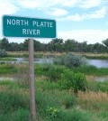
Unmanned Aircraft Monitor Platte River Sandbars
A recent abstract from Great Plains Research shows the efficacy of small unmanned aircraft in capturing and evaluating data on emerging sandbars and river habitat. The study into their use was launched by the U.S. Geological Survey...
- Posted May 1, 2015


