
Posts for tag "Earth & Atmosphere"
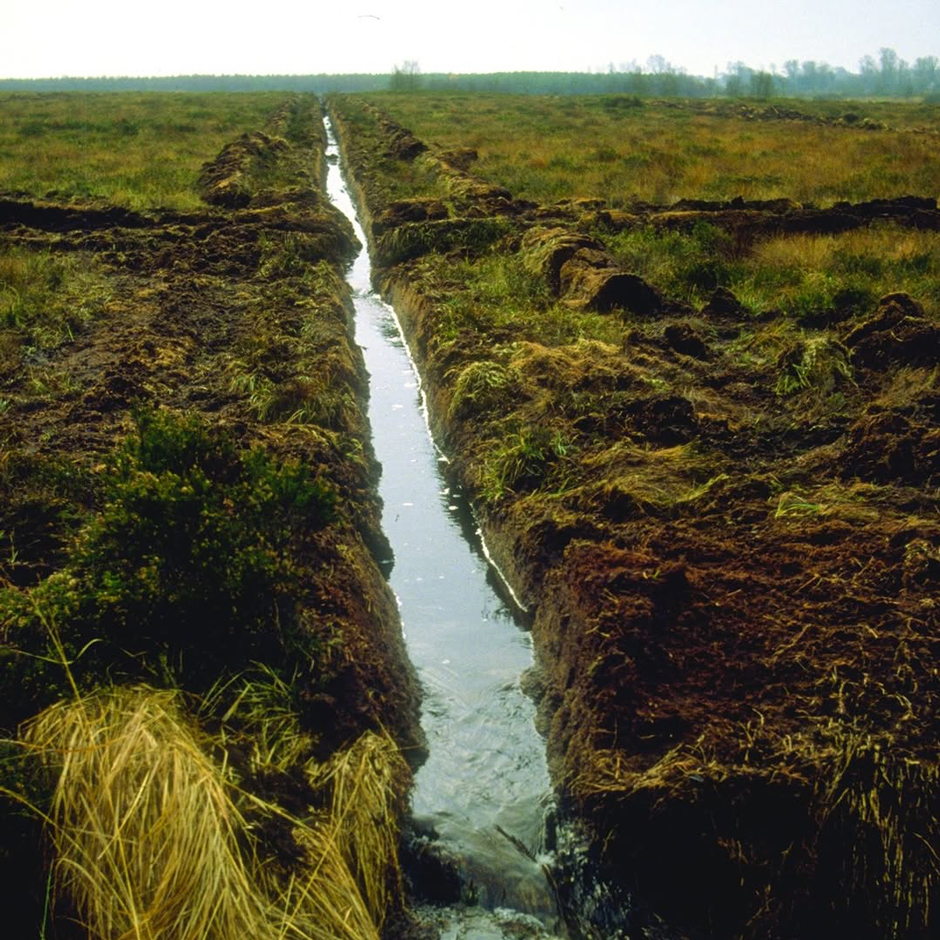
Save our Bogs! Culture, Conservation and Climate Action in Ireland’s Peatlands
Characterized by long-term accumulation under waterlogged conditions, peatlands exist on every continent and account for 3-4% of the global land surface. Small but mighty, these often overlooked wetland environments are estimated to hold as much as one-third...
- Posted March 31, 2025
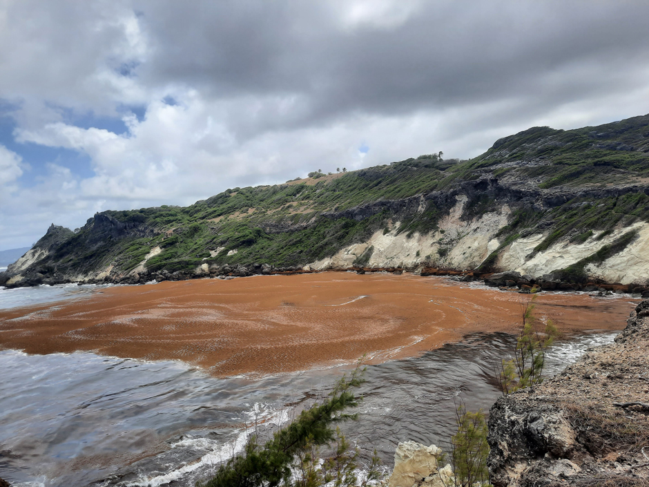
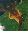
Sargassum Surge: How Seaweed is Transforming our Oceans and Coastal Ecosystems
Until recently, Sargassum–a free-floating seaweed–was distributed throughout the Sargasso Sea, the north Caribbean Sea, and the Gulf of Mexico. But in the space of a decade, this seaweed has, as one scientist remarks, “Gone from a nonfactor...
- Posted March 24, 2025
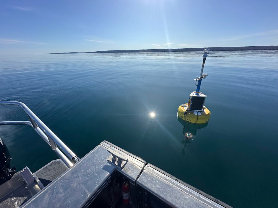

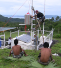
Great Lakes Research Center: Designing Targeted Monitoring Solutions
According to the National Oceanic and Atmospheric Administration (NOAA), the Great Lakes have more miles of coastline than the contiguous Atlantic and Pacific coasts combined and contain 20 percent of the world’s freshwater, making it a critical...
- Posted March 17, 2025
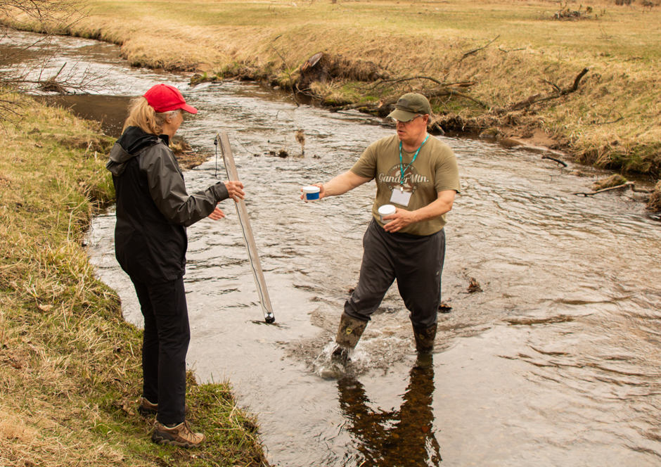

Watershed Stewardship in Minnesota: Protecting Valley Creek in the Land of 10,000 Lakes
The Saint Croix Watershed is home to dozens of lakes, rivers, and streams that host an abundance of aquatic life from its tributaries. Valley Creek, a tributary of the St. Croix River, is a designated trout stream...
- Posted February 24, 2025
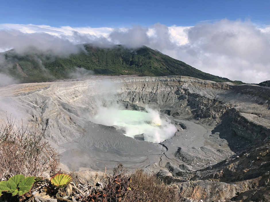
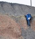
Poás Volcano Gives a Glimpse of Life on Mars
Poás Volcano is similar to Mars in its chemical reactions and its harsh environment. Researchers are studying Poás to see what Martian life might be like.
- Posted April 4, 2022


University of Utah Study Shows Arctic Clouds Sensitive to Air Pollution
A new University of Utah study shows that Arctic clouds are sensitive to industrial air pollution but not biomass burning.
- Posted February 23, 2018
Modeling Wastewater Injection Effects to Better Understand All Seismic Activity
Research has generated a model for predicting the magnitude of seismic activity triggered by wastewater injection—a report on a natural seismic experiment.
- Posted January 30, 2018
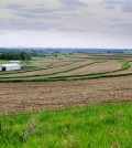
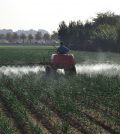
Iowa Farmers Using Cover Crop Incentive to Protect Their Water Quality
The Iowa Cover Crop Incentive is helping farmers get better yields from their land and keep levels of phosphorus and nitrogen in water healthy.
- Posted January 24, 2018
HELIX Climate Modeling Project Yields Good News, Bad News for Future of Global Climate
High-End cLimate Impacts and eXtremes (HELIX) project undertaken by 50 scientists in 13 countries gives some insight into mitigating global climate change.
- Posted January 10, 2018
Unprecedented Discovery Leads to Advanced Volcanic CO2 Detection by Satellite
OCO-2 shows it is capable of detecting point sources of CO2, including volcanoes, using advanced spectrometry.
- Posted December 23, 2017

Achieving Buy-in: The Importance of Community Involvement in Water Challenges
A USDA-funded project is aimed at developing a transferable strategy for achieving community stakeholder engagement in agricultural sustainable water issues.
- Posted December 14, 2017
Hidden Underground Nitrate Pollution Threatens Groundwater Worldwide
Researchers have quantified nitrate levels in the vadose zone worldwide for the first time, warning of potential for groundwater contamination.
- Posted December 9, 2017
Groundwater Depletion Causing Surprising Rise in Atmospheric Carbon Dioxide
Synthesizing years of information about U.S. aquifers in a new way leads to estimate of CO2 emissions from groundwater depletion.
- Posted December 7, 2017
Working With the Community, Not In Spite of it: The Water Institute of the Gulf
The Water Institute of the Gulf is using new approaches to harness the power of community knowledge in service to scientific goals.
- Posted December 6, 2017

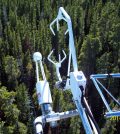
JPSS-1/NOAA-20 Satellite Launches New Era in Environmental Monitoring
NASA and NOAA launch JPSS-1/NOAA-20 satellite capable of accurate seven day weather predictions, monitoring sea ice, volcanic ash, wildfires, algal blooms, and more.
- Posted December 5, 2017
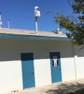
Imperial County Residents Help Tackle Air Monitoring
Health officials and community action groups team up to install low-cost air quality monitors in Imperial County, California.
- Posted November 20, 2017
Latest Satellite and Eddy Covariance Data Shows Vulnerability of Trees to Drought
NASA satellite data and eddy covariance tower data indicate areas globally where trees are especially subject to drought, such as tropical and boreal areas.
- Posted November 15, 2017
Climate Change May Thwart Sunlight’s Ability To Disinfect Water
Extreme weather events caused by climate change are making it harder for sunlight to disinfect water, making waterborne illnesses a graver threat.
- Posted November 9, 2017
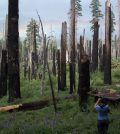
Researchers Find Link Between Forest Fires And Health
Researchers at UC Berkeley found that allowing, not suppressing forest fires, can improve tree health and help water spread through Yosemite National Park.
- Posted March 1, 2017
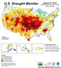
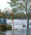
Soil Moisture, Snowpack Data Could’ve Predicted 2012 Drought Sooner
Existing datasets on soil moisture and snowpack help scientists at the National Center for Atmospheric Research refine drought predictions.
- Posted November 9, 2016

