Aerial Data Improve Hurricane Intensity Predictions Up To 15 Percent

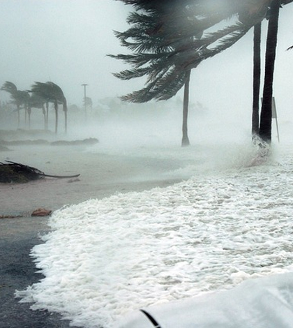
Key West, Florida, during Hurricane Dennis. (Credit: Jim Brooks / U.S. Navy)
Penn State researchers have utilized a large amount of hurricane hunter data in statistical and dynamical models and used it in efforts to improve hurricane intensity predictions. While predictions of a hurricane’s path have become much improved over past decades, improving intensity predictions has been more elusive.
Three types of hurricane hunter data were incorporated into the Penn State predictive effort: radar, on-plane sensor and dropsonde. Dropsondes are measurement devices dropped inside active hurricanes. The incorporated data included information on the hurricane’s moisture, direction, wind speed, temperature and physical structure.
The new predictive model was tested by comparing modeling results with and without the reconnaissance data to the actual paths and intensities of 23 hurricanes from 2008 to 2012. Results showed improvements of over 10 percent. The new model was also tested in 2013 against 11 storms in real time, giving improvements over previous efforts of up to 15 percent.
Improvements of storm forecasts at those levels could save human lives and prevent billions of dollars in damage, researchers note.
Top image: Key West, Florida, during Hurricane Dennis. (Credit: Jim Brooks / U.S. Navy)


0 comments