AlertSoCal Camera Network Aids Wildfire Prediction In Southern California

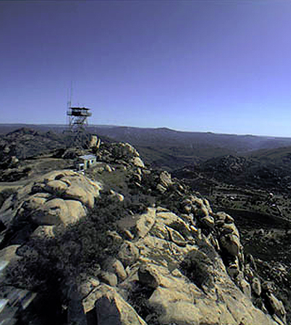
AlertSoCal network aids first responders in the detection of wildfire ignition and development. (Credit: Scripps Institution of Oceanography)
A network of mountaintop cameras, called the AlertSoCal system, operated by researchers at Scripps Institution of Oceanography offers a new opportunity for early detection of fire hazards in some of the most remote locations in Southern California, according to a release.
The system, developed in collaboration with the Scripps-based High Performance Wireless Research and Education Network (HPWREN) and the Nevada Seismological Laboratory, expands Southern California’s earthquake and weather monitoring system to better detect fires in real time before they spread.
The HPWREN network currently includes more than 64 fixed mountaintop cameras positioned in 16 remote locations across San Diego, Riverside, and Imperial counties in the state. New cameras in the AlertSoCal network feature 4K definition and augment those in the HPWREN network.
Scripps researchers say that the launch of the AlertSoCal network is just another step toward the creation of an integrated hazards-prediction network that can foretell a wide variety of natural disasters.
Top image: AlertSoCal network aids first responders in the detection of wildfire ignition and development. (Credit: Scripps Institution of Oceanography)


0 comments