Satellite Imagery Shows Evapotranspiration Differences In Arid Southwest

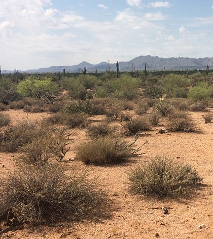
Arid desert. (Credit: Public Domain)
Two Arizona State University scientists have tweaked a popular evapotranspiration model to account for dynamics important to the management of water resources in the Southwestern U.S., according to a release. These include soil evaporation, irrigation for agriculture and seasonal variability of the land surface.
The base model, called the Variable Infiltration Capacity Model, was modified to account for seasonal changes in irrigated areas and the greenness of vegetation with help from data collected by spectroradiometers. These were mounted on NASA’s Terra and Aqua satellites that view the entire Earth’s surface four times per day.
Results of the model were compared directly with observations taken in the field, revealing that the evapotranspiration rates of different ecosystems can vary dramatically in response to summer monsoon rains. Scientists found that desert shrub lands produced a peak in evapotranspiration after the rains, while mountain forests peaked more slowly. These results were in contrast to those from irrigated agriculture that had a much smaller relationship with rainfall and showed two peaks per year.
Top image: Arid desert. (Credit: Public Domain)


0 comments