Satellites Track California’s Dwindling Groundwater

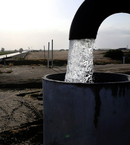
A California well being pumped. (Credit: Justin Sullivan / Getty Images)
According to an article in Wired, satellite monitoring has recently been used to show California’s groundwater levels by analyzing the sinking of California land, which is directly related to groundwater depletion. Data on California’s groundwater are being analyzed by NASA researchers, who are creating maps of California land sinkage.
The satellite data are being gathered using a technique called interferometric synthetic aperture radar, which measures changes in ground deformation. Although the technique was used in the past to monitor terrain changes due to earthquakes and volcanoes, using InSAR to monitor groundwater depletion is relatively new.
Other techniques to monitor groundwater depletion, while useful, come with drawbacks not inherent in satellite monitoring. Groundwater can be monitored using direct-well measurements, but digging new wells can be costly. Another is land surveying, which only yields information about a small portion of land.
Top image: A California well being pumped. (Credit: Justin Sullivan / Getty Images)


0 comments