Unmanned Aircraft Monitor Platte River Sandbars

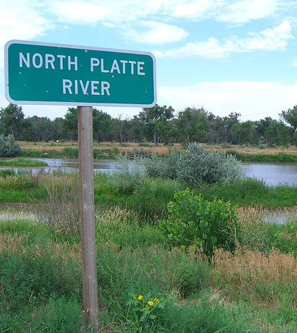
Scientists studied the efficacy of small unmanned aircraft in monitoring sandbars near the Platte River. (Credit: Napa/CC BY-SA 3.0)
A recent abstract from Great Plains Research shows the efficacy of small unmanned aircraft in capturing and evaluating data on emerging sandbars and river habitat. The study into their use was launched by the U.S. Geological Survey and Parallel Inc., and took place near Nebraska’s Platte River.
Scientists collected images with a consumer-grade digital camera on a Tarantula Hawk unmanned aircraft system for the study. Photogrammetric software and surveyed control points were also used to create digital elevation models of river terrain. To check the accuracy of their methodologies, researchers also used GPS locational data.
The data collected successfully captured the morphological development of sandbars in approximately 1- to 2-kilometer river reaches. Defining and visually capturing those emerging sandbars is important because sandbars provide critical nesting habitat for endangered and threatened species of birds.
Top image: Scientists studied the efficacy of small unmanned aircraft in monitoring sandbars near the Platte River. (Credit: Napa/CC BY-SA 3.0)


0 comments